


- Refer a Patient
- Referral Types
- Patient Information
- Overview of CFEH Clinics
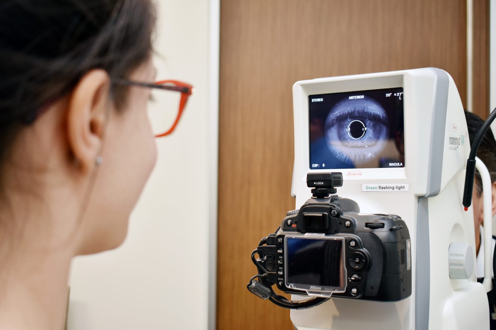
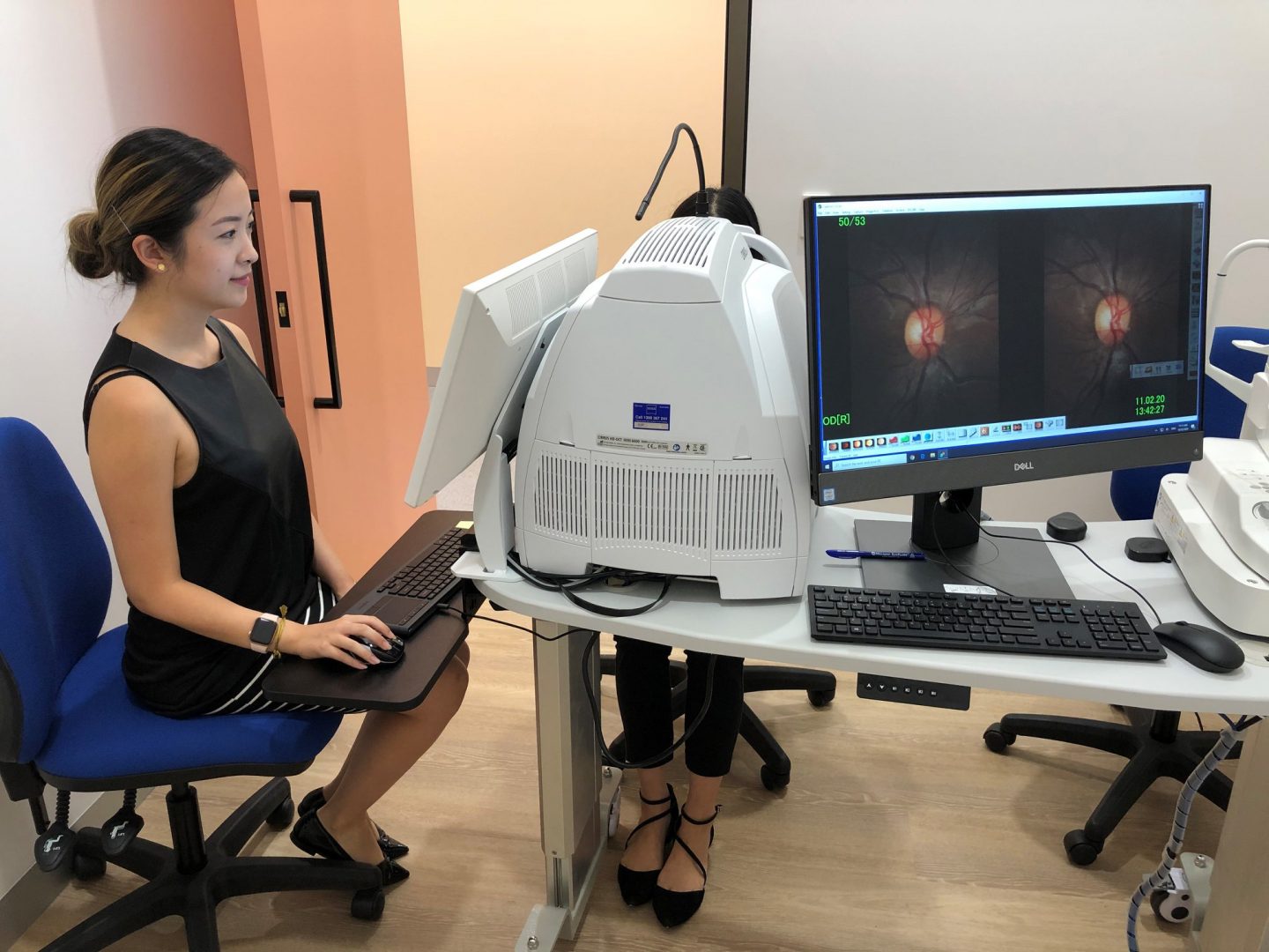
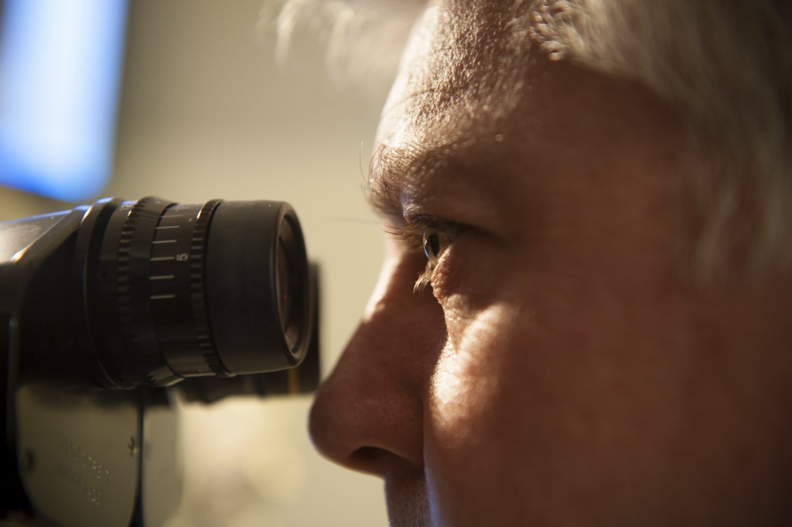
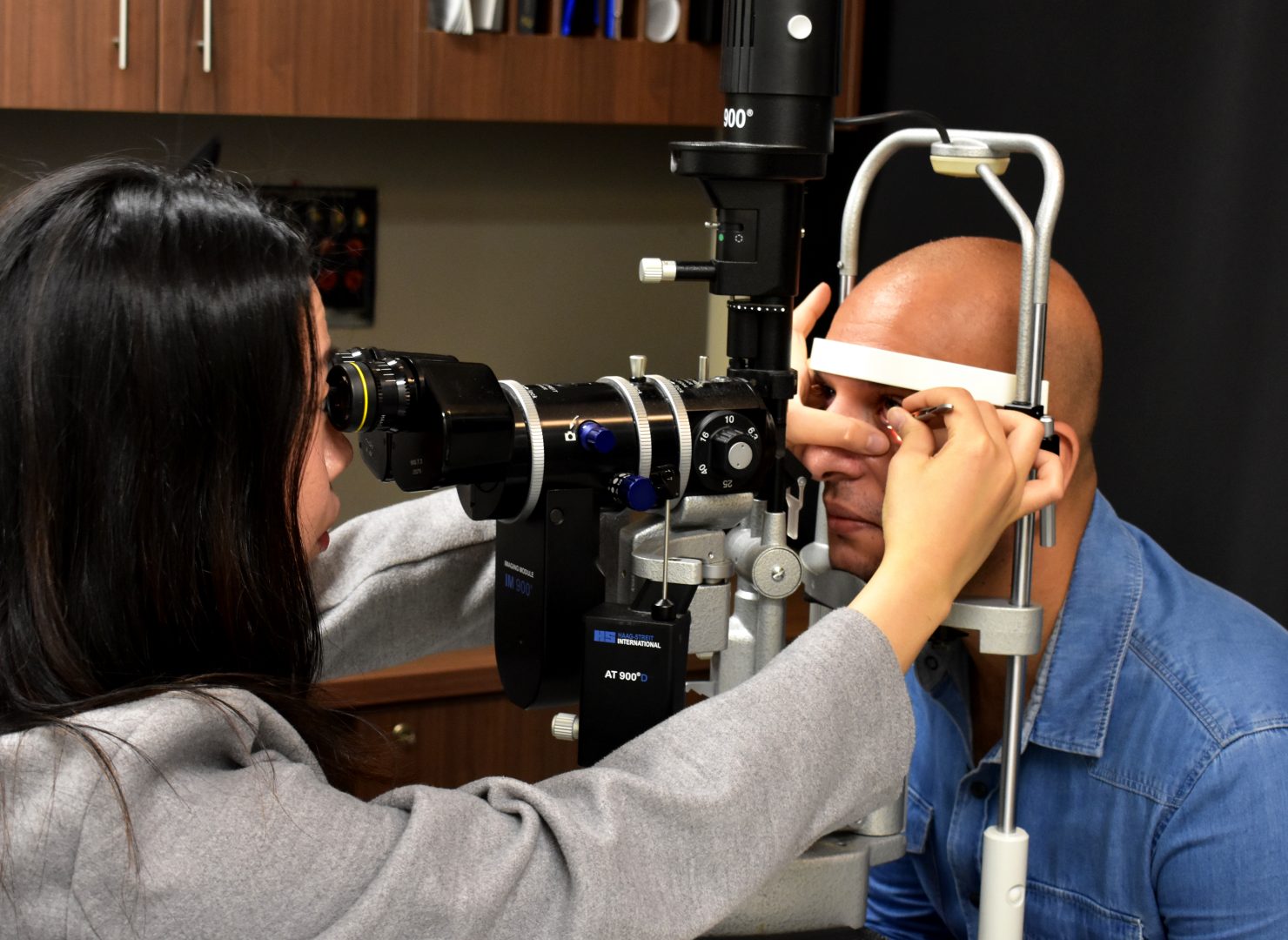
- CFEH Instrument List
- Our clinical team
- Causes of Vision Loss
- Patient Forms


Transport and navigation apps for people with low vision
Whether you’re walking or using public transport, did you know that there’s an app that can help you to reach your destination? There are a number of navigation and transport apps that can support people with low vision when navigating their way around indoor and outdoor locations. Some apps are designed for people with visual impairments, and others are accessible through audio descriptions or they are compatible with screen readers. Take a look at our list of apps that can help you to navigate your way around and reach your desired destination.
-
See Me App
Developed in Adelaide by a software programmer who also has a vision impairment See Me, allows users to use their smartphone to alert bus drivers of their presence at a bus stop, ensuring that they’re not missed on the route. The app also alerts users travelling by bus of upcoming stops, alleviating anxiety and allowing them to travel more independently.
Available for iOS and Android via the app stores.
-
GoodMaps Outdoors
GoodMaps Outdoors is an accessible GPS app that provides audio described turn-by-turn directions to your destination. The app also lets you record your route by dropping ‘Waypoints’ which mark your current location as you progress along your route. You can also use the app to find out what’s around you, create your own points of interest, and choose an address from your contacts list. The app is available on Apple and Android devices and is free to download.
-
BlindSquare
BlindSquare is a navigation app which allows you to navigate your surroundings, both inside and outside. It can tell you information about your surroundings, such as points of interest and street intersections, and you can also save locations if you will visit them again. The app can also connect with a GPS like Apple Maps or Google Maps. By connecting these apps it will not only provide you turn-by-turn directions, but will also tell you your direction of travel and how far you are from your location. BlindSquare is currently only available on iPhone and iPad devices, and it costs $59.99.
-
Lazarillo - accessible GPS
Lazarillo is a GPS app designed for people who are blind or have low vision. The app uses audio messages to inform you about your surroundings, such as the street you are on and nearby points of interest. It also provides turn-by-turn audio directions to guide you to your destination. You can also find out how far you are from your destination, save your favourite locations, and discover which shops are around you.
-
Moovit
Moovit is an app that helps you to plan your trip on public transport by viewing timetables and getting real-time updates. You can save your favourite bus stops or train stops and the app will alert you when it’s time to get off at your destination. The app is fully accessible as every screen on the app can be used with screen readers like Apple’s VoiceOver or Google’s TalkBack. You can also increase the font size on the screen.
-
TripView
TripView, available in Sydney, Melbourne, and Brisbane, is an app that provides timetables for public transport, as well as real-time updates such as delays, trackwork, and service interruption. The app is compatible with VoiceOver on iOS. The app costs $7.99 to download, but there is also a free version of the app called TripView Lite.
-
BindiMaps
BindiMaps is a navigation app designed to help you find your way through indoor locations such as offices, hospitals, universities, train stations, and more. The app is fully accessible and provides turn-by-turn audio directions to guide you to your destination. It also gives hazard alerts when there is an obstacle in your path. BindiMaps only works in supported locations and there is a full list of locations on the BindiMaps website.
-
DotWalker
DotWalker is a navigation app designed for people with visual impairments. The app provides turn-by-turn guidance to your destination. Other features of the app include a talking compass, a list of nearby points of interest, and the ability to record and save your route. DotWalker is currently only available on Android devices and can be downloaded from the Google Play Store.
-
AroundMe
AroundMe is an app that gives you information about your surroundings. Based on your location, the app can tell you nearby points of interest, including your nearest hospital, bank, bar, or petrol station. Although the app doesn’t provide turn-by-turn directions, it can be used in conjunction with navigation apps like Google Maps to help guide you to your destination.
For more information
- Click here to see our tips and strategies for navigating public transport
- See here for information on Orientation and Mobility
- Always speak to your GP and eyecare professional about the best treatment options for you